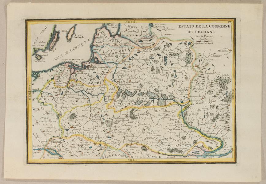
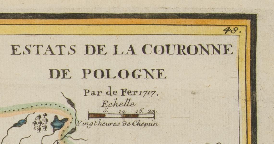
Description
Nicolas de Fer, 1717
22 x 31.5 cm
Line-colored copperplate. Understamping in three corners without damaging the map. Reflected No. 48 in the upper right corner.

2000,00 zł brutto
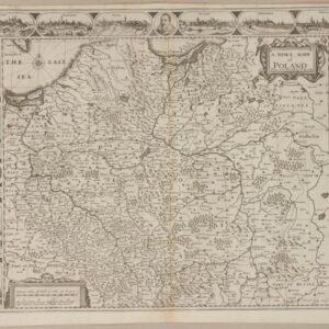
Map of Poland by Nicolas de Fer (1647 – 1720), Parisian cartographer and publisher, included in editions: “L’atlas curieux” after 1717.
Nicolas de Fer, 1717
22 x 31.5 cm
Line-colored copperplate. Understamping in three corners without damaging the map. Reflected No. 48 in the upper right corner.
| size | 22 x 31.5 cm |
|---|---|
| catalog | M28-22 |

Reviews
There are no reviews yet.